
Mount Coree Circuit and Summit - Easy/Medium Wednesday Walk (no need to register)
Nov 11, 8:00 AM
Easy-Medium Wednesday Walk #1 - 11th November
Mount Coree, full circuit and summit.
Leader: Dave Abela
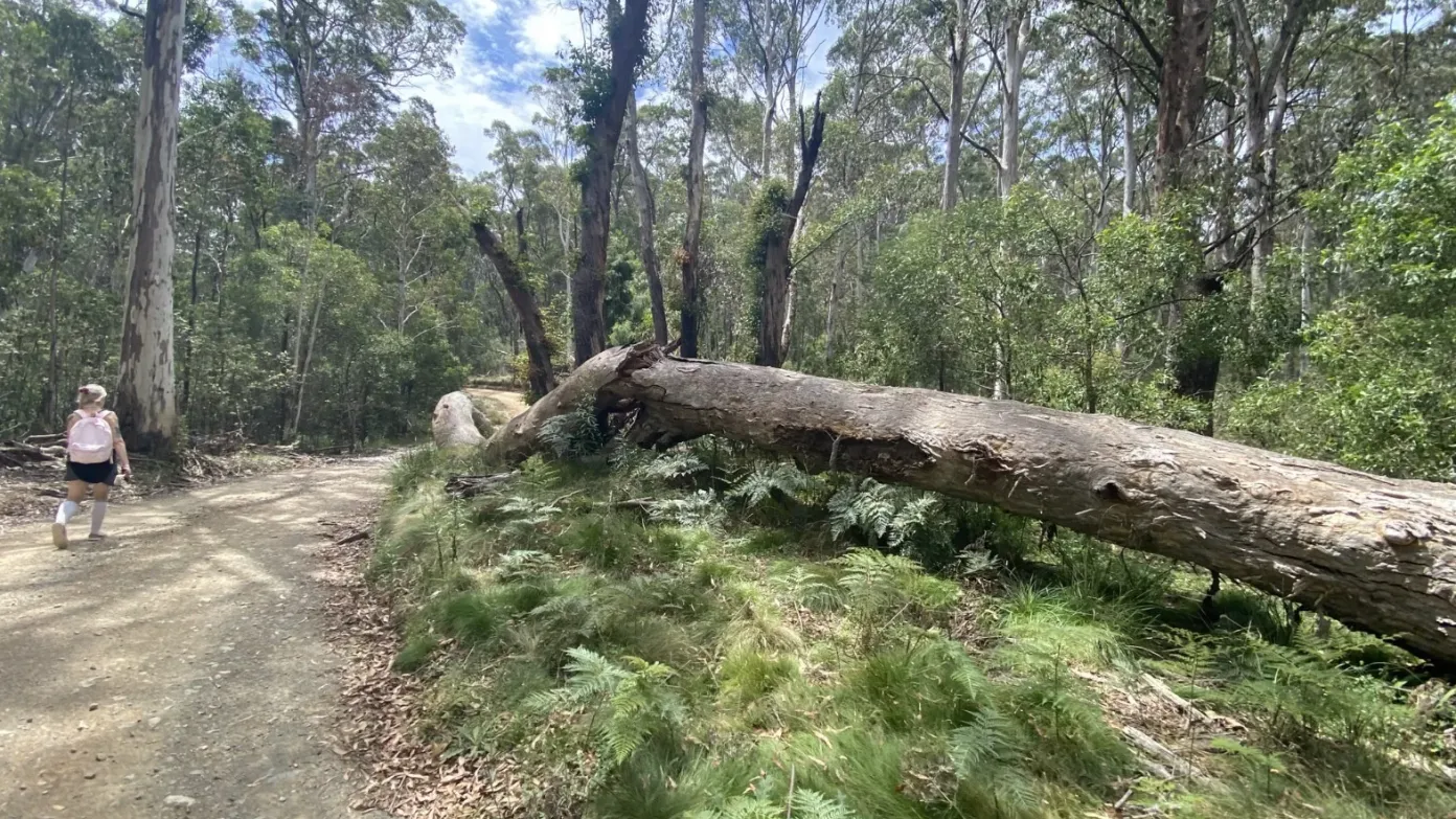
Description: This is a very pleasant walk to the top of Mount Coree along shady fire trails. We’ll start walking in a clockwise direction from the junction of Curries and Pabral Roads. From here it’s a gentle ascent to the watershed which marks the ACT/NSW border and then we’ll continue on to the Coree Campground for morning tea. We will then continue onward and upward and join the summit track which is a steady and steep (near the top) firetrail. It’s a magnificent 360 degree view all around for our lunch stop on the top of Mount Coree. After lunch, it’s mostly a “downhill all the way” walk back to our cars along the little used Pabral firetrail to close a 14 km loop for the walk. This is a relatively easy walk, with the most difficult part being the steep and steady climb near the top of Coree. It’s all on wide firetrails with generally very good surfaces, but the first half a kilometre or so of the descent from the top of Coree can be a bit slippery with loose rocks to contend with…so, bring your walking poles if you prefer to use them.
Maps: Cotter Dam 1:25,000
Distance: 14 kms
Ascent/Descent: 700 mtrs
Grading: Medium/Easy (CBC), 5 (BBC)
Track Description: All on fire trails, no off-track. Generally gentle hilly ascents and descents, a short but steep section near the top with some loose rocks. Generally, easy to medium grade walking.
Meeting Time: 8.15 am for an 8.30 am start.
Meeting Place: Meet at the Dillon Close carpark adjacent to the Weston Tennis Courts (across the road from MacDonalds Weston)
Transport: Meet at Dillon Close then carpool from there to Pabral Roads. 100 km round trip. $8 per passenger.
Weather for next Wednesday: 8C to 26C. A shower or two.
What to Bring: Day-pack, hat, sunscreen, 2 litres of water, morning tea and lunch. Walking poles if you use them.
Booking deadline
Tue 10th Nov 2026
Length
Terrain
Distance (km or hrs)
14 kms
Ascent
700 mtrs
Descent
700 mtrs
Map name
Cotter Dam 1:25000
Terrain information
Hilly, mostly gentle inclines, but some short steep sections.
Transport information
Meet at Dillon Close then carpool from there. 100km round trip. $8 per passenger
A walk or similar activity with a duration of a day or part day. No overnight gear required.
Date and Time
* Always confirm the finish time with the Activity Owner.
Activity Owner

DaveAbela
Activity Location
Get in touch
Need to ask a question about this activity? Send a message to get in touch with the Activity Owner.
Sign in to leave a message