
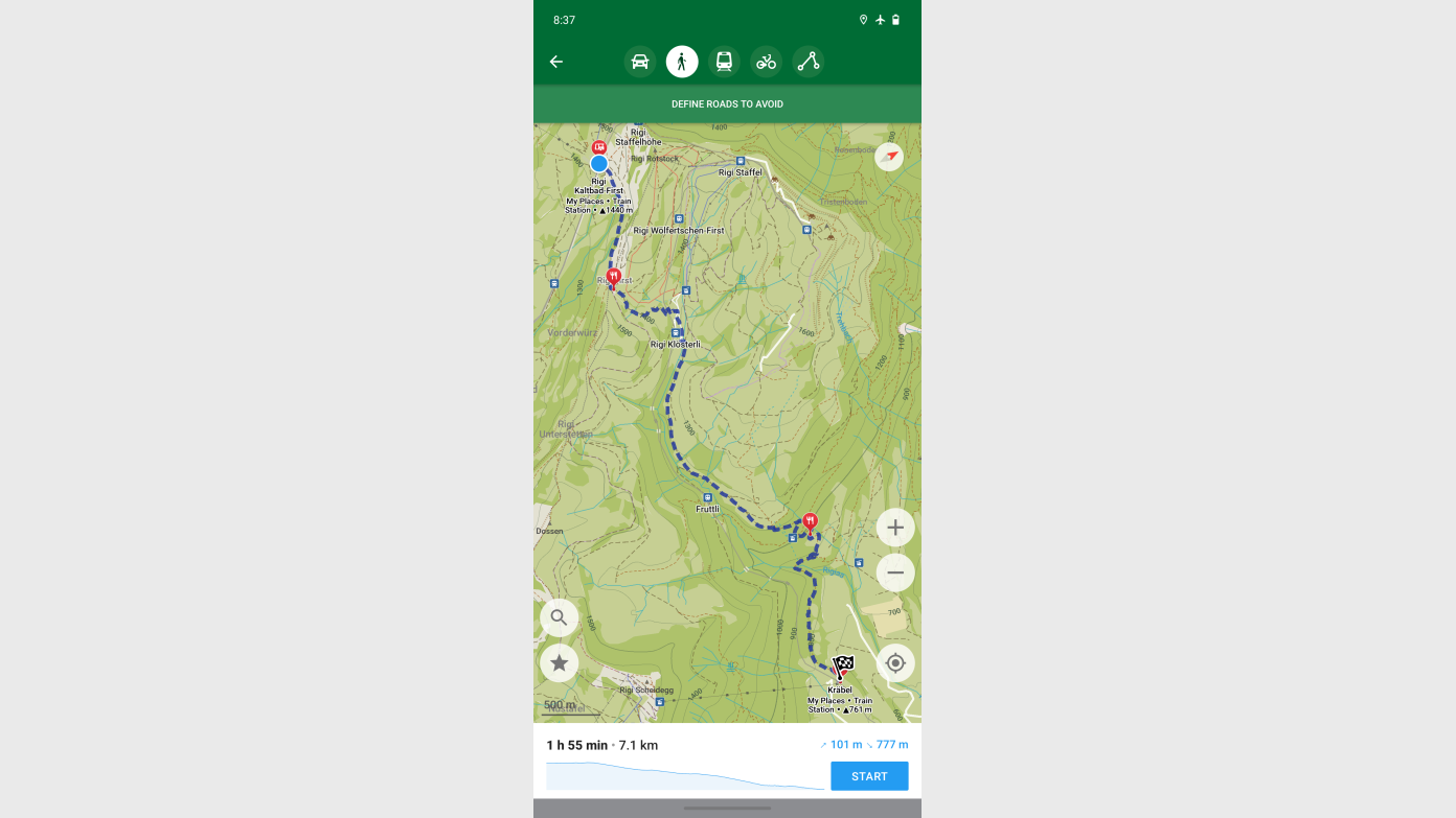
install & setup 'Organic Maps' – Offline Maps & GPS for Hiking on your Mobile Phone, as a back-up tool when the other Navigation tools do fail,
it uses the Latest update of Open Street Map; every user is forced to download the Local map onto the phone at setup (for Canberra we have the whole NSW map on the phone to use in flight-mode),
Turn on all Layers of the map,
we can upload an existing gpx file into the 'Organic Maps', and we can record a track in 'Organic Maps',
https://organicmaps.app/
A self-learning activity for walk leaders and members. Follow the link provided to learn how to use Organic Maps for offline navigation and GPS tracking on your hikes.
Booking deadline
Thu 26th Nov 2026
Length
Terrain
Distance (km or hrs)
400m to test the app at home
Ascent
depends on the app user
A walk or similar activity with a duration of a day or part day. No overnight gear required.
Date and Time
Activity Owner

beat-oppikofer3377
Activity Location
Get in touch
Need to ask a question about this activity? Send a message to get in touch with the Activity Owner.
Sign in to leave a message