
Easy-Medium Wednesday Walk - Hardy Hill, Cotter Catchment & Namadgi NP
Oct 14, 8:00 AM
Easy-Medium Wednesday Walk #1 - 14th of October
Hardy Hill, Cotter Catchment & Namadgi NP
Leader: Dave Abela
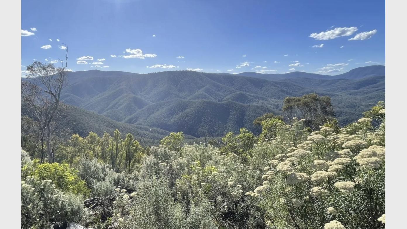
Description: Hardy Hill is a very prominent point that straddles the Cotter Catchment and Namadgi National Park. We’ll start our walk from a parking area on Laurel Camp Road and make our way on fire trails through shady bushland up to a high point where there are multiple crossroads, one of which leads up to Hardy Hill. We’ll skirt around the flank of the hill till we get to a point where we leave the fire trail and walk off track for a short hike through open scrub to the trig point on top of Hardy Hill. Once back on the fire trail we’ll continue along the top of the ridge line for some terrific views of the northern end of Namadgi National Park including the upper Cotter river valley. We’ll then return the same way back to the crossroads and then take a different way back to our starting point. This walk is mostly on fire trails, hilly, with some short, steep sections and on the whole a medium rating. Keep in mind there is a fair bit of Ascent/Descent at 400mtrs overall. The off track section is short and easy.
Maps: Cotter 1:25,000
Distance: 13 kms
Ascent/Descent: 395 mtrs
Grading: Medium/Easy (CBC), 8 (BBC)
Track Description: Mainly on fire trails , hilly, a few steep sections with the usual loose rocks. A short section of off track through woodland which is quite open and easy walking.
Meeting Time: 8.15 am for an 8.30 am start
Meeting Place: Meet at the Dillon Close carpark, Weston Creek., (adjacent to the tennis courts). We will carpool from here.
Transport: Car pool from Dillon Close. 34 km round trip. $5 per passenger.
Weather for next Wednesday: 5C to 18C. Partly cloudy.
What to Bring: Day-pack, hat, sunscreen, 2 litres of water, morning tea and lunch. Walking poles optional.
Those doing their first Wednesday walk and those who are not members of the BBC, NPA or CBC must contact the leader beforehand.
Booking deadline
Tue 13th Oct 2026
Length
Terrain
Distance (km or hrs)
13 kms, about 5 or 6 hours
Ascent
400 mtrs
Descent
400 mtrs
Map name
Cotter 1:25000
Terrain information
Hilly and mainly on fire trails. Some short steep sections with loose rocks. Some off-track but quite easy.
Transport information
Car pool from Dillon Close, Weston Creek. 34 km round trip. $5 per passenger.
A walk or similar activity with a duration of a day or part day. No overnight gear required.
Date and Time
* Always confirm the finish time with the Activity Owner.
Activity Owner

DaveAbela
Activity Location
We're finalising the perfect spot—stay tuned!
Get in touch
Need to ask a question about this activity? Send a message to get in touch with the Activity Owner.
Sign in to leave a message