
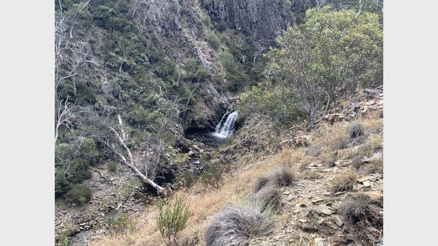
Snowy montane rivers - Goodrabidgee R, Leura Gap and Pockets Hut
Dec 12 - Dec 13
Join me to explore parts of the Snowy Scheme and environmental flows in the upper Murrumbidgee and Goodradigbee rivers.
We will hike the upper reaches and some huts of the Goodradigbee River, look at an aquaduct of the Snowy Hydro scheme, and with views of the Snowy 2.0 construction at Tantangara Dam.
Day 1: Drive via Cooma, Adaminaby, Tantangara Dam to the gate on Pockets Saddle Road at Gurrangorambla Creek. Walk the along the Murrays Gap fire trail and the Goodradigbee Aqueduct Track (Leura Gap fire trail) to explore the Goodradigbee River. We will continue our walk along the Australian Alps Walking Track to camp near Pockets Hut. Approx. 12.5km.
Day 2: Leave overnight gear at Pockets Hut. Walk with day packs north-east to Leura Gap hoping to find Leura Hut (ruin) on the way. We will return via Pockets Hut back to the cars (~21km) for the drive back to Canberra.
Previous similar field note is provided at https://johnevans.id.au/2-3-march-2019-leura-gap-via-pockets-hut/
During the walk we will check out Pockets Hut, Old Snowy Camp, Oldfields Hut, Leura Hut (ruins), and depending on time and energy we may make it to Townsend Hut.
Walking is on fire trail, foot pad with the possibility of some minor offtrack exploration to search for Leura hut.
This is a good opportunity to test your overnight hiking gear. Water purification will be needed for topping up your water supplies.
Booking deadline
Fri 04th Dec 2026
Length
Terrain
Conditions
Distance (km or hrs)
33km
Ascent
360m, 590m
Descent
390m, 530m
Map name
Tantangara 1:25000 (8626-3N)
Terrain information
Walking is on fire trail, foot pad with the possibility of some minor offtrack exploration. Sections of steep ascent/descent on fire trail.
Transport information
Leave Lanyon Marketplace and drive ~131km to Tantangara Dam. ~15km to the trail head along Pocket Saddle fire trail. Some driving along well-formed gravel road. Cost is $35-$45 pp depending on number of participants and cars. I will drive one car and can take 3 others but if people would like to carpool (recommended but not essential), we will need volunteer(s) to drive at least one other car. AWD/4WD preferred.
Travelling date
Sat 12th Dec 2026
Accommodation options
Accommodation information
We will camp in the grounds adjacent to Pocket Hut. You will need to carry your gear into camp. Treat as rough camping, no toilet facilities. Water will be taken from the river and need treatment.
A multi day backpacking or base-camping activity.
Date and Time
* Always confirm the finish time with the Activity Owner.
Activity Owner
RyanB76
Activity Location
Get in touch
Need to ask a question about this activity? Send a message to get in touch with the Activity Owner.
Sign in to leave a message