
(Now Sunday due to forecast weather) Short walks around Mt Blundell/Blue Ridge – Trigs (and NRs) #17
Sun 06th Sep 2026
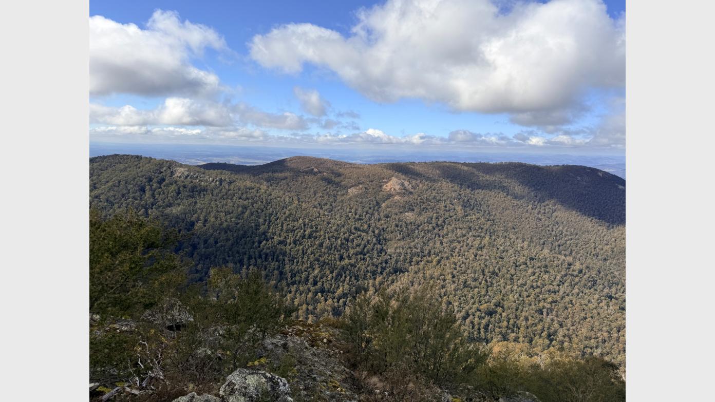
Drive via the Cotter to stop and bag Moore trig. Drive on via Uriarra, Brindabella and Old Mine Roads to Appletree Corner in the northern Brindabellas. A 1km walk on decommissioned fire trail to bag Uriarra trig. Continue driving up Blue Range Road to the junction with Genges Trail. Here the real walks begin. First, a 2km return off-track trip with 100vm descent/ascent (10% average slope) to visit the Mt Blundell adit. Then a 4km mostly footpad trip with 250vm descent/ascent (12.5% average slope) to the top of an 80m high cliff overlooking Coree Creek. Around 8km and 450vm climb with spectacular and interesting views.
Booking deadline
Thu 03rd Sep 2026 07:00pm
Length
Terrain
Distance (km or hrs)
8km
Ascent
500vm
Map name
Cotter Dam 1:25000 topo
Terrain information
Decommissioned fire trail, steep and rough off-track, steep footpad
Transport information
Shared transport deets to booked walkers
A walk or similar activity with a duration of a day or part day. No overnight gear required.
Date and Time
* Always confirm the finish time with the Activity Owner.
Activity Owner

John-Evans
Activity Location
Get in touch
Need to ask a question about this activity? Send a message to get in touch with the Activity Owner.
Sign in to leave a message