
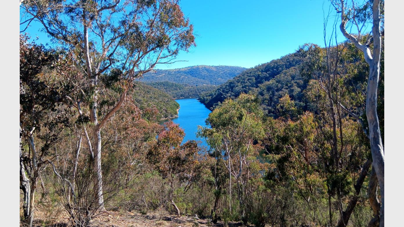
Starting from the London Bridge Picnic Area in South Googong, we head in a southerly direction along fire trail and after a short distance head off track through open forest and grasslands following a low ridge down towards the stepping stones at Burra Creek. Then, head in a northerly direction passing London Bridge Arch and follow alongside Burra Creek to reach the Dhurrawarri Bunya trail. With a climb up to the ridge, the Dhurrawarri Bunya trail will take us out the headland where the Queanbeyan River and Burra Creek meet. We retrace our steps with a short decent off trail to cut across the Queanbeyan River Trail. From here, we explore off track the undulating dry woodlands of Googong Foreshore Reserve contouring several spurs and cross shallow gullies to visit scenic vantage points above the Queanbeyan River. We also descend off track down to the river twice; some parts of the descent are steep – very steep, and there are pockets of thicker bush we need to navigate through. Climbs back out are also steep – very steep, and more strenuous in parts. We visit a final knoll before connecting with the fire trail down to Gelegnite Crossing, which is our turn around point. We loop back along the fire trail of the Queanbeyan River walk, before briefly dipping our toes into Burra Creek Nature Reserve. We re-enter Googong Foreshore reserve and make our way back along trail to reach our starting point. This walk is a mixture of on track (wide fire trails, and formed bush tracks) and a significant amount off track (mostly open dry woodlands and thicker pockets of bush close to the river, open grasses, undulating landscape with steep to very steep sections, surfaces that may be slippery or unstable underfoot, sandy and rocky sections along the river). This walk is partly exploratory and there will be deliberate periods of quiet attentive walking to be fully present in nature.
Booking deadline
Fri 11th Sep 2026 06:00pm
Length
Terrain
Conditions
Distance (km or hrs)
16 km
Ascent
620
Descent
620
Map name
8726-1N Captains Flat
Terrain information
On track (wide fire trails, and formed bush tracks) and a significant amount off track (mostly open dry woodlands and thicker pockets of bush close to the river, open grasses, undulating landscape with steep to very steep sections, surfaces that may be slippery or unstable underfoot, sandy and rocky sections along the river).
Transport information
Self-drive to meeting point at Calwell in south Canberra and then car pool to London Bridge Picnic Area ($8 per person). Further details will be communicated to booked participants.
A walk or similar activity with a duration of a day or part day. No overnight gear required.
Date and Time
* Always confirm the finish time with the Activity Owner.
Activity Owner

jennifer-arnold
Activity Location
Get in touch
Need to ask a question about this activity? Send a message to get in touch with the Activity Owner.
Sign in to leave a message