
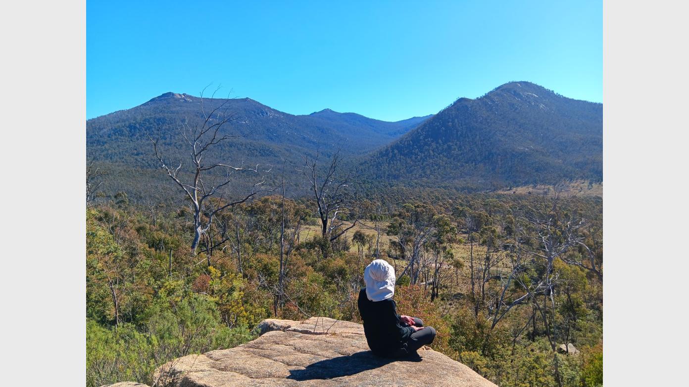
We start at Yankee Hat carpark and head east through the open grasslands visiting low knolls with snow gums, an interesting ‘toaster’ rock formation, boulders and get close to Hospital Creek. Then, head south west on track, passing Eleanors Grove, whilst admiring Hospital Hill and the ‘smiley rock’. Further along, we head off track through some light bush and a marshy creek area to loop towards a large rock platform with a little bit of elevation. Afterwards, we reconnect with the Boboyan Pines Fire Track for a short bit, and then head off track to venture through mostly light bush to cross the low saddle between SH 1200 and SH 1100, and contour in a south westerly direction adjacent to Old Boboyan Road. We take some time visiting Frank and Jack’s Hut, before making our way off track to follow a disused forestry trail traversing the high side of the slopes south of Frank and Jack’s Hut for splendid views of Mt Gudgenby and the valley. Then, head in a northerly direction through open grasslands to reconnect with Bogong Creek Track. From there, we continue on trail with a final ascent along another disused forestry trail with fallen trees, perched below Yankee Hat South and North. Lastly, we visit the Yankee Hat Rock Art site, before making our way back to our starting point, Yankee Hat carpark.
The landscape is generally undulating, rocky/grassy slopes that may be slippery and/or unstable under foot, and passing through mostly light scrub. Gaiters are a must to protect legs. Given the nature of the terrain (surface, vegetation, steepness), the hike's linear distance of 16km with an elevation gain of 508m makes the physical effort equivalent to a 21.8 km on-track walk. The hike is likely to take 6.5hrs or a bit longer to complete at a steady pace. It is best suited for walkers who are comfortable off-track, possess a good level of fitness, and have successfully completed at least one hike of a similar nature within the last two months.
Booking deadline
Thu 17th Sep 2026 06:00pm
Length
Terrain
Conditions
Distance (km or hrs)
16km
Ascent
508m
Descent
508m
Map name
8626-2N Yaouk
Terrain information
Open grasslands, wide fire trails, off track through mostly light scrub, marshy creek areas, rock platforms, disused forestry trails with fallen timber, uneven underfoot.
Transport information
Participants to make own way to meeting point in Canberra's south. Car pool from meeting point to Yankee Hat car park. Cost $10pp.
A walk or similar activity with a duration of a day or part day. No overnight gear required.
Date and Time
* Always confirm the finish time with the Activity Owner.
Activity Owner

jennifer-arnold
Activity Location
Get in touch
Need to ask a question about this activity? Send a message to get in touch with the Activity Owner.
Sign in to leave a message