Devil's Peak from Genges Road
Sat 15th Aug 2026
Sign in or Create new account
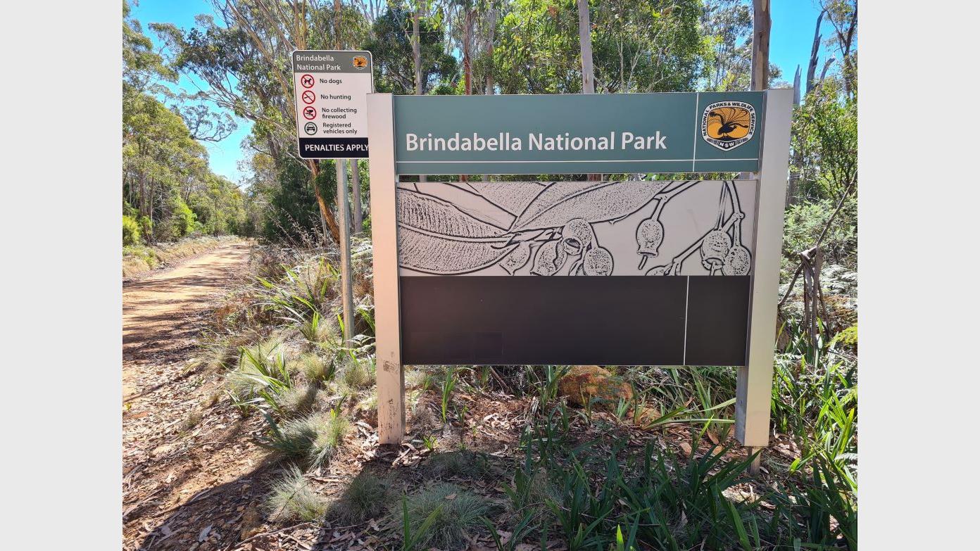
Starting at intersection of Genges Trail and Blue Range Road following fire trails to a particular point on Two Sticks Road, then going into the forest to climb to the top of Devil's Peak. Then head for the knoll to the south-east. This is a rocky area with great views on a clear day. Return the same way. AM tea on trail before starting the climb, lunch on the knoll weather permitting.
Additional Information
Booking deadline
Thu 13th Aug 2026 08:31pm
Length
Medium
Terrain
Medium
Distance (km or hrs)
11 - 12 kms - will feel like 17 kms with climbing/descending.
Ascent
400 metres
Descent
400 metres
Map name
Cotter Dam 1:25000
Terrain information
About 8 kms of fire trail, the rest uphill and downhill is through forest which is reasonably open but rocky underfoot. Can be cold on the Devil's Peak knoll so bring warm, waterproof clothes, hat, sunscreen. Poles and gaiters may be useful especially in the forest.
Transport information
34 kms each way, 64 kms in total. Prefer 4WD or AWD for last 7 kms of drive. 2WD vehicles ok if reasonable ground clearance. $32 per car, $8 per person. Meet at Dillon Close, Weston in time for an 8:30 start.
A walk or similar activity with a duration of a day or part day. No overnight gear required.
Date and Time
Activity Owner

tim-wright633
Activity Location
Have a question for the activity organiser?
Type your message and we’ll pass it straight to the organiser. They’ll get back to you directly, so response times may vary — thanks for your patience while they reply!