Googong Dam Eastern Edge - Bradleys Creek track and Black Wallaby Loop
Sat 28th Mar 2026
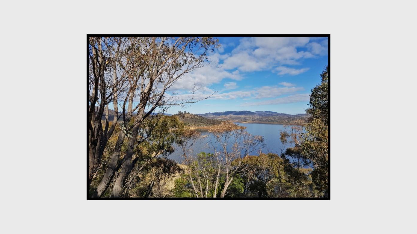
Starting at the Downstream Picnic Area of the Googong Dam we will follow the Bradley’s Creek walking trail along the eastern edge of the reservoir to Gorman’s Trig before descending down to the Googong foreshore for morning tea. This will be an opportunity for a swim for anyone willing or visit the mouth of Bradleys Creek flowing into the Dam. We will return via the Googong Lookout and Black Wallaby Creek trail which should give us views of the Cascades and Dam Wall on the Queanbeyan River. The walk is along fire trail and foot track. The hike grading: M/E; M9.
Additional Information
Booking deadline
Sun 22nd Mar 2026 09:00pm
Length
Medium
Terrain
Easy
Conditions
Partly Exploratory
Distance (km or hrs)
13.8km
Ascent
619m
Map name
Hoskinstown
Terrain information
Mostly fire trails but with some steep grades and loose gravel surface.
Transport information
Self drive, meeting at Downstream Picnic Area, Googong Dam
A walk or similar activity with a duration of a day or part day. No overnight gear required.
Date and Time
Activity Owner