The Bobeyan Divide
Sat 14th Mar 2026
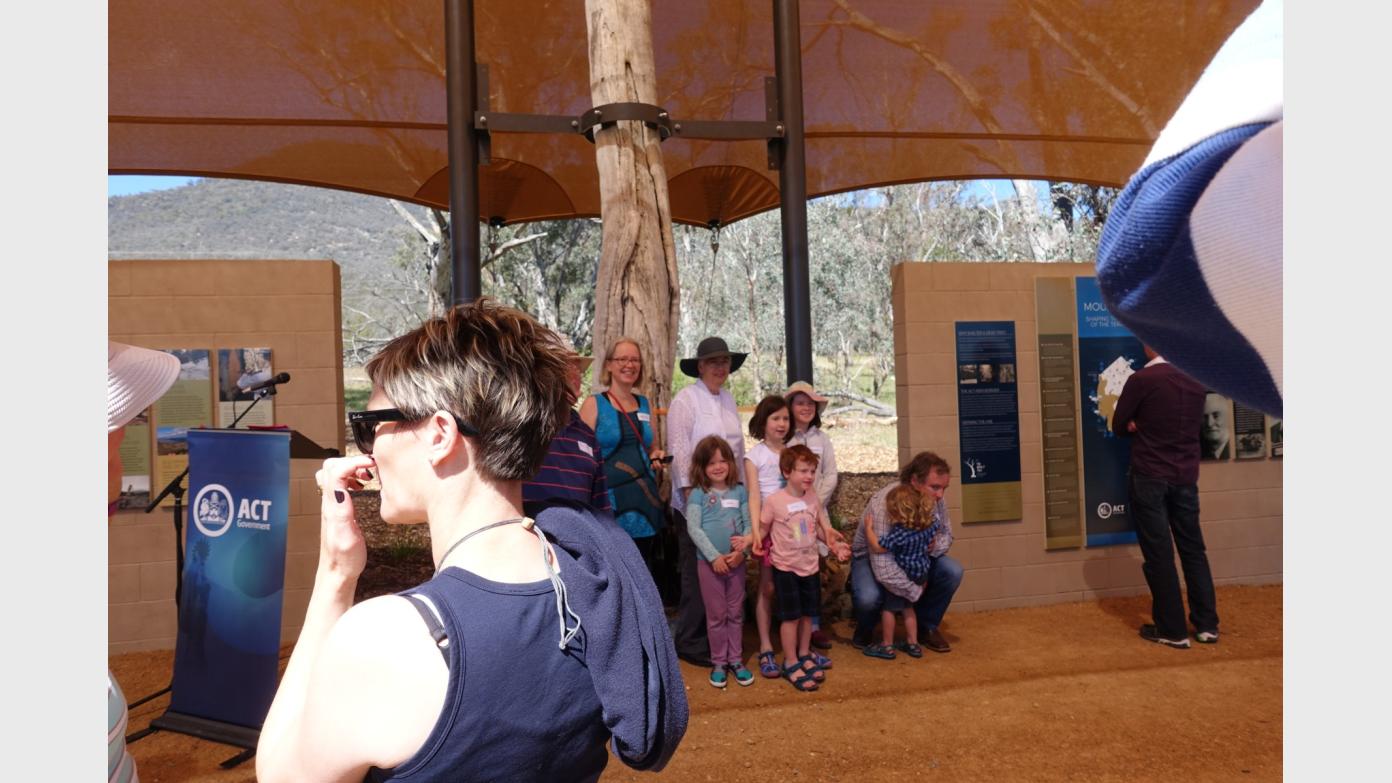
The Bobeyan (Boboyan) Divide forms the southern border of the ACT. We’ll walk in via the Settlers Track (toilet at start) to Waterhole Hut, then SW to the Divide to discover border markers and blaze trees. See where the Mouat Tree at the Namadgi Visitors Centre came from. We’ll return SE along the Divide, passing a marvellous NSW portion survey reference tree. Home via Westermans graves and homestead (toilet) and the Settlers Track. Around 20km and 500vm spread throughout the day. Relatively easy walking on the Settlers Track, open valley floor and fire trails. A relaxed pace.
Additional Information
Booking deadline
Thu 12th Mar 2026 07:00pm
Length
Long
Terrain
Medium
Distance (km or hrs)
20km
Ascent
500vm
Map name
Yaouk, Shannons Flat 1:25000 topos
Terrain information
Settlers Track, open valley floor and fire trails
Transport information
Car pool from southern Canberra. Details provided to booked walkers
A walk or similar activity with a duration of a day or part day. No overnight gear required.
Date and Time
Activity Owner

John-Evans
John Evans