RAMSAR Wetlands and Upper Ginini Falls, Mt Franklin and the westernmost point of the ACT
Sat 07th Mar 2026
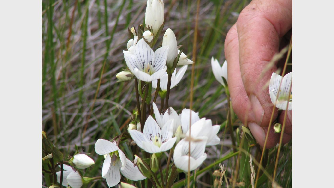
Drive to the Mt Ginini car park above the RAMSAR listed wetlands. Visit Upper Ginini Falls (for a geocache). Walk the edge of Ginini Flats, Morass Flats and Cheyenne Flats. On regaining the Mt Franklin Road, visit the Duntroon ski lodge site and Mt Ginini. Drive back along the Mt Franklin Road to the Mt Franklin car park. Skip up to Franklin trig and down to the Austin A40. Back at the car park, off-track to visit the westernmost point of the ACT. It’s been some time since I was in this area so expect the unexpected. Around 14km and 550vm. Your footwear and gaiters must be spotless and we’ll use a bleach bath. Limit 8. A long drive of 1hr 30mins each way, 130km round trip, so a long day.
Additional Information
Booking deadline
Thu 05th Mar 2026 07:00pm
Length
Medium
Terrain
Rough
Distance (km or hrs)
14km
Ascent
550vm
Map name
Corin Dam, Tidbinbilla 1:25000 topo
Terrain information
Edge of delicate alpine bogs, off-track through ?, Mt Franklin walking track
Transport information
130km round trip, 1 hour 30 mins each way. I'll need one other to drive, AWD/4WD. $15 per PAX
A walk or similar activity with a duration of a day or part day. No overnight gear required.
Date and Time
Activity Owner

John-Evans
John Evans