Eucumbene to Tabletop
Wed 31st Dec 2025
Sign in or Create new account
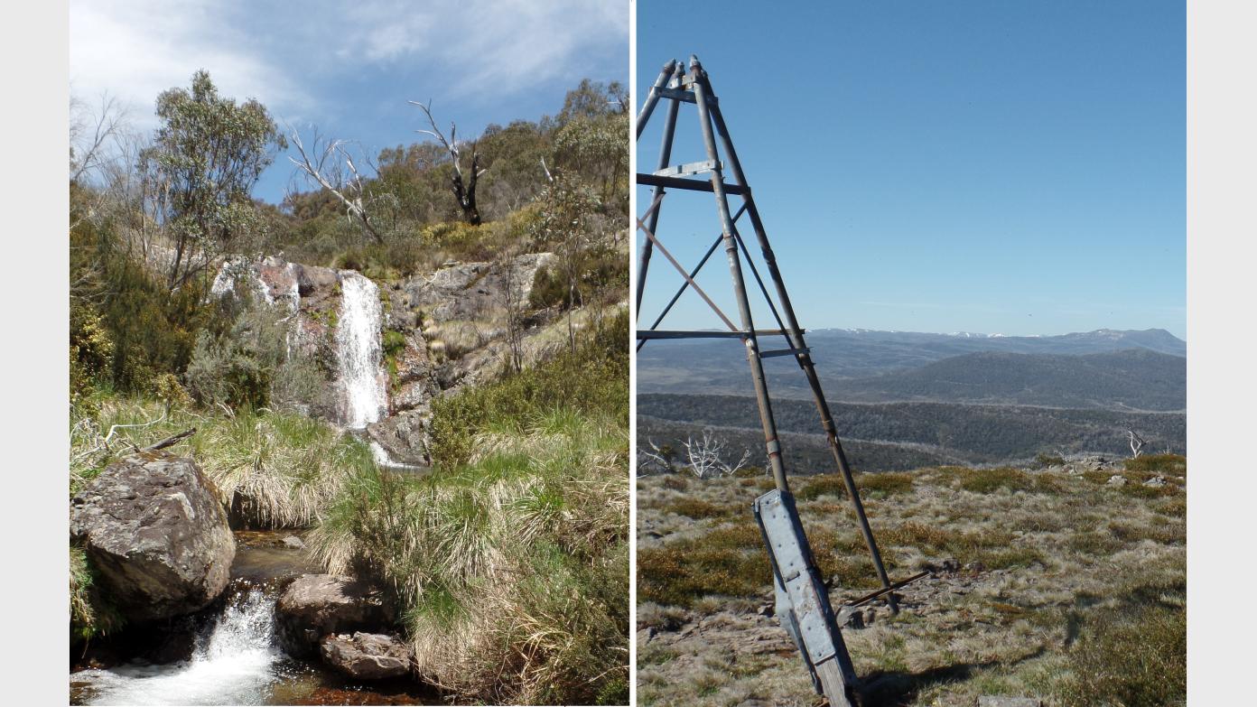
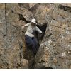
This five day walk explores some of the country between the Eucumbene River and Tabletop in Kosciuszko National Park. Though the country is remote and sometimes rough, the pace will be relaxed. On days 1 to 4, we will only be carrying our full packs for 5 to 7 km; on the last day for 9 km. Optional side trips will take up the rest of the time. Day 1: From Sawyers Hut 4 km on fire trail, wade the Eucumbene River at a vehicle ford, then 2 km off track to camp in lower Tabletop Creek. An optional pack-free side trip into the Eucumbene Gorge with its many cascades. Day 2: climb a spur 300 vert metres and then along the tops at around 1600 m altitude to camp on an unnamed creek. Optional afternoon side trip to trig 1626 to take in the view. Day 3. Walking now mainly in alpine grasslands, we climb a further 100 vertical metres to meet the TableTop Trail, from which there is a side trip to explore a complex of rocks. Then descend 80 vert metres to camp in the head of Temperance Creek. Day 4: Climb over Tabletop Mtn and down to Broken Dam Hut. Day 5: Walk back to the Eucumbene River on fire trail, wade it, then, for a break from the fire trail, return via the grassy valley of Rocky Plains Creek to a shuffled car on the highway. Requires experience in multi-day off-track walking. Highlights will be cascades, wildflowers, views, a remote feel and passing beside some healthy alpine bogs. Lowlights may be, at this time of year, some flies and ants.
Additional Information
Length
Short
Terrain
Rough
Conditions
Partly Exploratory Partly Wet
Distance (km or hrs)
Up to 7 km per day (9 km on last day) with optional side trips adding a few more km.
Ascent
Longest ascent is 300 vertical metres on the morning of day 2
Descent
Descents vary
Terrain information
Management trail - some hard packed, some grassy on days 1 and 5. Meadows with short grass but uneven ground which can twist ankles. Tussocky grass beside creeks. Open forest. Steep slopes on Day 2. Patches of scrub, some thick and some only thigh-high. Rock scrambling on some of the side trips. Two river wades (the leader is hoping to do these bare foot). The trip may be postponed to another date if recent rain suggests the river level is too high.
Transport information
$175 per vehicle
Accommodation information
Carry-everything bush camping
A multi day backpacking or base-camping activity.
Date and Time
Activity Owner
linda-groom01
Linda Groom
Activity Location
Have a question for the activity organiser?
Type your message and we’ll pass it straight to the organiser. They’ll get back to you directly, so response times may vary — thanks for your patience while they reply!