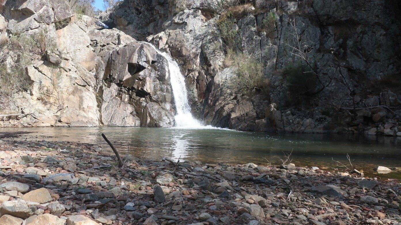
Bombay Falls
Sat 16th Mar 2024
Short notice walk. A different angle on Tallaganda. After driving to Braidwood we drive back west into Tallaganda State Conservation Area, to walk into Bombay Falls, a new sight for many Club members. We will use un-maintained fire trails, sometimes grassy under foot, to cross the gently-rolling country below Mt Palerang, and head off track for 3.5 km to visit Bombay Creek and its falls. The falls may have less water in them than the image shows. The area was burnt in 2019/20, but is recovering. Forecast for Saturday is fine, max 17 degrees.
Additional Information
Length
Medium
Terrain
Rough
Distance (km or hrs)
10.5 km
Ascent
Main ascents 150 m on track and later 150 metres off track
Map name
Bombay 1:25,000
Terrain information
About 7 km of little-used firetrail, broken up into 2 sections across the day. The remaining 3.5 km will be off-track, through dry forest and along rocky creeks. The forest has a mix of fairly open walking and regenerating scrub. Some rock scrambling in the creek. Part of the return route is exploratory for this leader.
Transport information
A 1 hour 10 min drive from Queanbeyan, via Braidwood, the last section is 2WD gravel road. $80 per vehicle.
A walk or similar activity with a duration of a day or part day. No overnight gear required.
Date and Time
Activity Owner
linda-groom01
Linda Groom
