Hills, plains and tree-islands of Northern Kosciuszko
Fri 26th Jan 2024
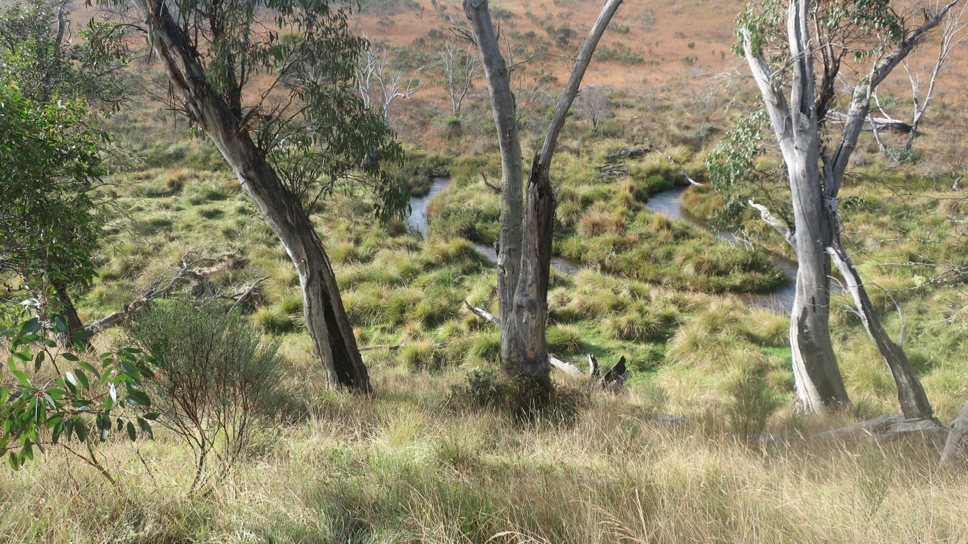
A three day exploratory walk, mostly off-track, to some of the less-visited parts of Kosciuszko NP. Leader Linda G. Day 1. Parking at an NPWS campground near the Tantangara Road, we will walk to Boggy Plain, skirting around its eastern edge to find a campsite where Boggy Plain Creek forsakes its bogginess and runs through what appears, from aerial images, to be a boulder field. Day 2. Continue north along the east side of Tantangara Creek to join the AAWT for a couple of kilometres to Witzes Hut. From there an optional side trip to look at one of the area's larger tree islands, visiting spot heights 1408 and 1419 which may have views. Day 3: Return to cars along a ridge via Blanket Hill and Blackfellows Hill. Grading is towards the Medium-terrain end of Medium/Rough. Scenery pleasant but not spectacular.
Additional Information
Length
Medium
Terrain
Rough
Conditions
Exploratory
Distance (km or hrs)
Day 1: 9 km. Day 2: 6 to 11 km. Day 3: 11 km.
Ascent
Days 1 & 2, 100 metres + many small hills 10 - 30 metres: Day 3 up 200 m + small climbs.
Map name
Tantangara & a tiny bit of West Denison 1:25,000
Terrain information
About 1/5th fire trail or track. The rest grassy plains with some tussocky areas, some open forest, some scrub possibly thick in patches. Possibly some creek leaping or wading.
Transport information
A 2 hr 45 min drive from Canberra, including a break at Adaminaby. $120 per car. Last section is gravel road suitable for larger 2WD.
A multi day backpacking or base-camping activity.
Date and Time
Activity Owner
linda-groom01
Linda Groom