Tinderry Crossing Exploration
Sun 10th Mar 2024
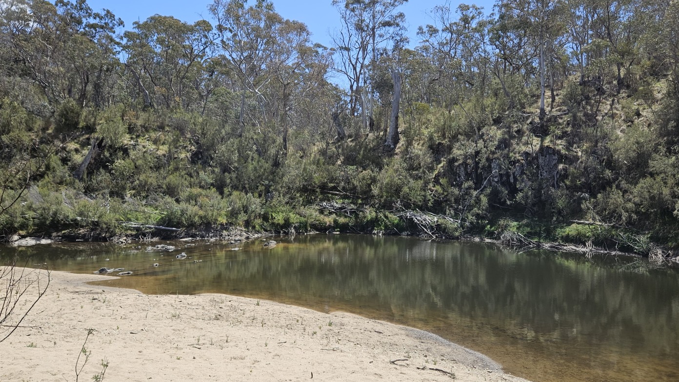
An interesting walk in Yanununbeyan State Conservation Area which takes in the seldom visited Tinderry Crossing. This crossing is actually the junction of the Queanbeyan River and Tinderry Creek and is easily reached via some easy off-track walking through lightly timbered woodland and on firetrail down to the river, crossing Lighthouse Creek along the way. If the weather is suitable and the river sufficiently low we may cross to the southern side and explore a lovely riverbank and maybe even take a small dip in the water. Depending on the group's energy levels and enthusiasm we may even explore a little of the area around Lighthouse Creek. This is not a difficult walk nor does it involve climbing boulders but there may be a little light scrub depending on our route.
Additional Information
Booking deadline
Thu 07th Mar 2024
Length
Medium
Terrain
Easy
Conditions
Partly Exploratory
Distance (km or hrs)
~12
Ascent
~450
Descent
~450
Map name
Captain's Flat
Terrain information
Gently undulating dry sclerophyll forest and woodland featuring Argyle apple box trees, scribbly, peppermint and brittle gums. The area was originally occupied by the Ngarigo people and some artefacts have been discovered suggesting that stone tool material was acquired locally.
Transport information
We'll meet at Spotlight, Queanbeyan and carpool down to Woolcara Lane from there. Suitable for 2WD vehicles. Distance is 80 km return ($36 per car). All approved participants will receive an email a few days before to confirm start time and any other relevant details :)
A walk or similar activity with a duration of a day or part day. No overnight gear required.
Date and Time
Activity Owner

terrylea-hikergirl
Terrylea Reynolds